
Hydrographic surveying & ROV
Hydrographic surveying and underwater inspection using an ROV
Do you need to survey a seabed, inspect an underwater structure, or document damage without sending in a diver? We perform hydrographic surveying and ROV inspections using market-leading equipment, ranging from multibeam echo sounders and sub-bottom profiling to remotely operated underwater vehicles (ROVs) for inspections in ports, tunnels, water treatment plants, and offshore environments.
Do you need help with a project?
Or fill out our contact form!
Sent a request!
What is a hydrographic survey?
Hydrographic surveying involves mapping lake and ocean bottoms to obtain an accurate picture of depth, topography, and seabed conditions. The data is used as a basis for dredging, fairway design, the construction of piers and bridges, cable and pipeline installation, and environmental assessments.
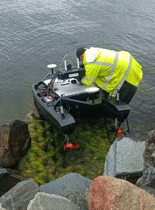
We use modern surveying equipment that provides high resolution and accuracy even in shallow and confined waters:
- Multibeam sonar – quickly maps large seafloor areas and provides a detailed 3D model of the seafloor.
- Single-beam echo sounder for smaller missions and shallower waters.
- Sub-bottom profiling penetrates the bottom sediments and reveals the stratigraphic sequence beneath the seabed surface, which is useful in dredging and foundation projects.
- Positioning with RTK-GNSS for centimeter-level accuracy in elevation and position.
The results are delivered as depth maps, 3D models, point clouds, or reports, depending on the project’s requirements.
What is a ROV?
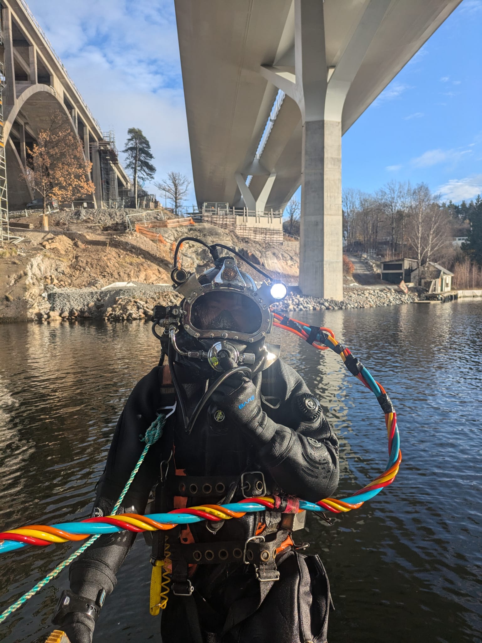
An ROV (Remotely Operated Vehicle) is a remotely controlled underwater vehicle equipped with a camera, sonar, and tools. With an ROV, we can inspect structures and the seafloor without sending divers—faster, safer, and at depths or in environments where diving is not suitable.
ROV is used, among other things, for:
- RInspection of quays, bridge foundations, and piles
- RInspection of Tunnels, water treatment plants, and intakes
- RInspection of cables, wires, and submarine cables
- RSearch and rescue operations
- RDocumentation of damage, corrosion, and fouling using photos and video
- REnvironmental and seabed surveys
We often combine ROV operations with hydrographic surveying in the same mission. The sonar provides the big picture, while the ROV zooms in on what needs to be documented in greater detail.
How we use hydrographic surveys and ROVs in projects
The right method is chosen based on what you need to find out. Some common tasks:
- Before dredging — we survey the seabed to calculate volumes and prepare the groundwork for the construction project.
- After dredging — a follow-up measurement showing that the correct depth has been reached.
- In construction — subgrade for quays, bridge foundations, piers, and underwater pipelines.
- Tunnel Inspection – ROVs enter water-filled tunnels and intakes where diving is not feasible.
- Damage assessment – documentation of collision damage, cracks, and subsidence underwater.
- Condition monitoring – regular inspection of piers, bridges, and other structures to detect damage early.
The results are delivered as depth maps, 3D models, point clouds, or reports, depending on the project’s requirements.
Contact us
- We take on projects both large and small
- We serve both individual and business customers
- Over 15 years of experience
Do you need help with a deck project? Call us, email us, or fill out the contact form if you’d like to brainstorm ideas, have questions about an upcoming project, or would like a free quote!